
Making way in the intra-coastal waterway (ICW) in North Carolina was scenic but cold. Mini-cold fronts came through every other day that you could see coming, swinging the winds to the SW, in which case we’d lay-up a day rather than bash into the wind and chop. These fronts brought the coldest temperatures we’d seen yet, outside and inside the boat (40’s & 50’s F, respectively), forcing us to use every layer of clothes, jackets, socks and blankets we own to keep warm.


One of our favorite stops was the sleepy, friendly town of Belhaven NC where we even had a few warmer days to get some chores done, including laundry, provisioning, haircuts and fueling up. The diesel prices ($2.03/gal) are less than 1/2 of what we’ve been used to paying over the past few years!


There are a few stretches in the ICW that are canals that cut through land in-between the larger bodies of water, rivers and sounds. These canals are mind-numbing, straight and narrow. Every so often a power boat would call over the VHF radio to give a pass and we’d inch over trying not to hit any tree stumps that might be hiding underwater. Add high gusty winds and spraying foam to make for an afternoon you’d just as soon forget.


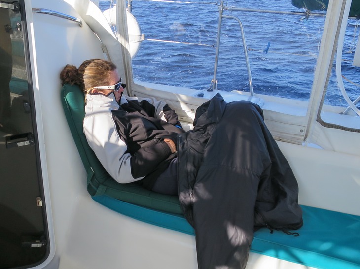
Staging in a creek near Beaufort NC, we waited for the latest cold front to pass and the weather to settle back into brisk north winds. We were ready to get WARM so we jumped offshore the first chance we got.
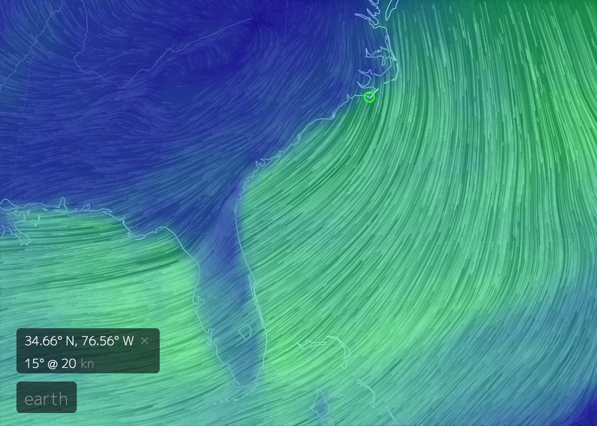
It definitely crossed our minds to head straight for the Bahamas from Beaufort (green circle), yet strong north to northeast winds were not something you want to cross the Gulf Stream currents in, creating nasty seas.
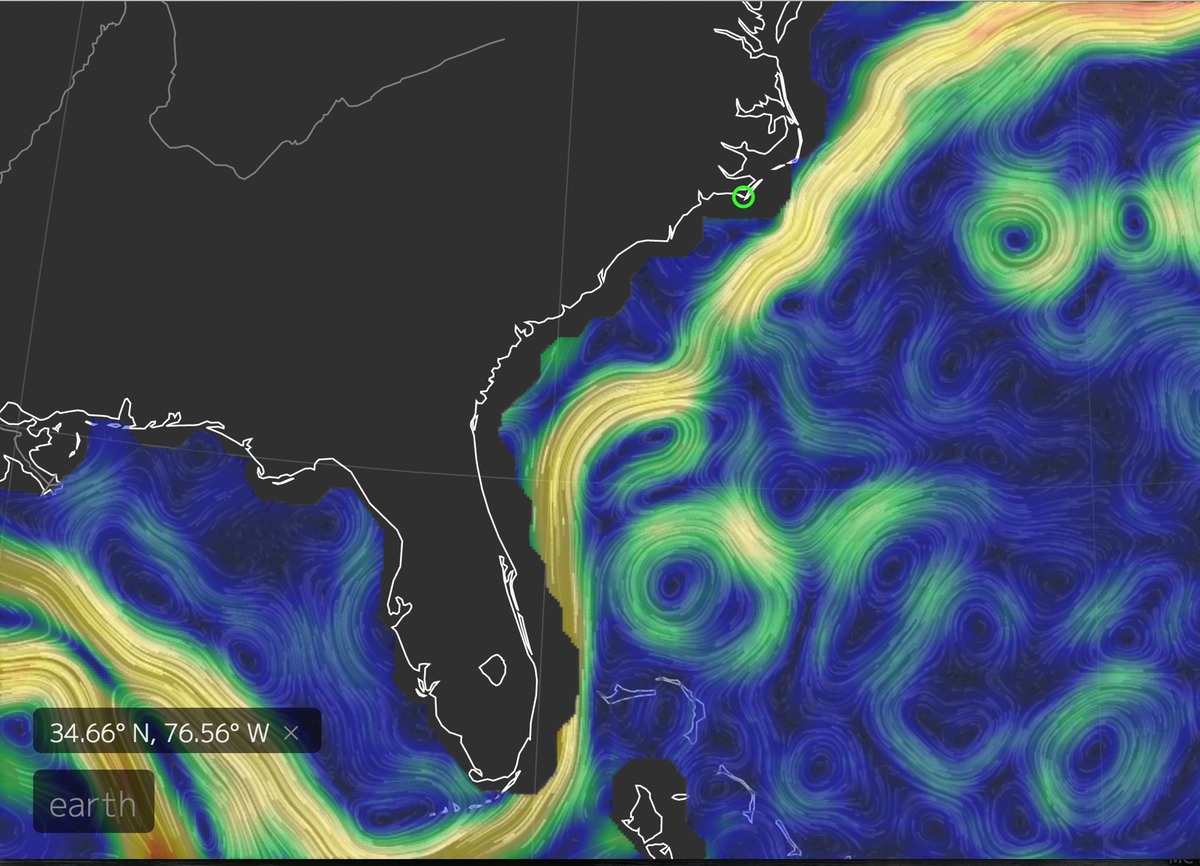
So instead we headed south for Florida, keeping between the coast and the Gulf Stream’s 3-5 knot northerly flowing currents.
It was so nice to be going downwind on Reach again! The first two days were spent heading SW, wing-on-wing in steady 15-20 kt N to NE winds, finally getting smart and using wind-vane mode on our autopilot after jibing the first few times.

As we sailed past Charleston SC with its usual cargo traffic, our course curved more due south and the winds switched more NE to E.
This put the growing wind and seas more on the beam making for a nice reach with a 2nd reef in the main, even if a bumpier ride.

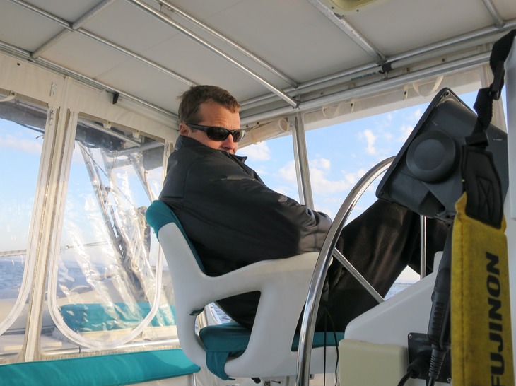
We’ve been using our iPads with the SeaIQ application that connects with our NMEA navigation readouts through the Vesper AIS wirelessly.

I seriously love their closest-point-of-approach (CPA) rendering of “targets" so I can tell if ships will be passing ahead or behind us (center white “target”).
This is also around where we lost those crystal clear, high pressure skies and the cumulous clouds set in as we got closer and closer to the warm waters of the Gulf Stream… and its accompanying squalls.


For our 4th and last night along the Florida coast we had steady 25-27 kt NE winds with crazy wind-shifts and higher gusts in squalls. Some of those damn beam seas would break over the side deck half-way up the cockpit enclosure! I didn’t have much of an appetite the last day.


Entering the Ft. Pierce inlet at dawn was timed fortuitously at high, slack tide; otherwise it would have been a terrible surf coming in the breakwater.


Heading 10 nm up the Indian River we decided to take advantage of Vero Beach City Marina's moorings as a safe place to keep Reach for a brief car rental. Water levels have been high all along the coast from VA to FL due to heavy rains, making fixed bridges an anxiety producing prospect for many a sailboat. Reach has about a 62.5 feet air-clearance. Fixed bridges along the ICW are all nominally 65 feet clearance, yet the tides and even winds can affect this. Most bridges we saw were hovering around 63 feet clearance, so just enough to keep our antennae intact.

